Description
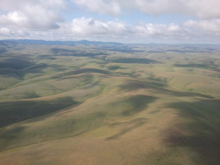
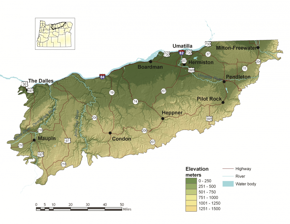
The Oregon portion of the Columbia Plateau ecoregion extends from the eastern slopes of the Cascade Mountains to the Blue Mountains ecoregion. Millions of years ago, the region was covered by lava flows up to 2 miles deep. The Columbia River delineates the northern border of the ecoregion in Oregon, and has greatly influenced the surrounding area with cataclysmic floods and large deposits of wind-borne silt and sand. Over time, winds scoured the floodplain, depositing silt and sand across the landscape and creating ideal conditions for agriculture: rolling lands, deep soil, and plentiful flowing rivers including the Deschutes and John Day. The ecoregion is made up entirely of lowlands, with an arid climate, cool winters, and hot summers.
The Columbia Plateau produces the vast majority of Oregon’s grain, and grain production is the heart of the agricultural economy. The Columbia Plateau produces the second-highest agricultural sales per year for any ecoregion in Oregon. More than 80 percent of the ecoregion’s population and employment is located in Umatilla County, which includes the cities of Pendleton and Hermiston. Other population centers include The Dalles, Condon, and Heppner.
Characteristics
Important Industries

Agriculture, mobile home production, cattle, retail and services, construction
Major Crops
Grain, barley, potatoes, onions, fruit
Important Nature-based Recreational Areas
Cold Springs National Wildlife Refuge (NWR), Umatilla NWR, the canyons of the lower Deschutes and John Day Rivers
Elevation
100 feet (The Dalles) to 3,000 feet (northern slopes)
Important Rivers
Columbia, Deschutes, John Day, Umatilla, Walla Walla
Limiting Factors and Recommended Approaches
Limiting Factor:
Water Availability
Water quantity is a limiting factor for fish, wildlife, and livestock. In streams, seasonal low flows can limit habitat suitability and reproductive success for many fish and wildlife species. As the demand for water increases, the supply of groundwater is decreasing. Water quality can also limit species and habitats.
Recommended Approach
Provide incentives and information about water usage and sharing during low flow conditions (e.g., late summer). Increase awareness and manage timing of applications of potential aquatic contaminants. Improve compliance with water quality standards and pesticide use labels administered by the DEQ and EPA. Work on implementing Senate Bill 1010 (Oregon Department of Agriculture) and DEQ Total Maximum Daily Load water quality plans.
Limiting Factor:
Soil Erosion
Soil loss through erosion and decreases in soil quality jeopardize the productivity of native habitats and agricultural lands. Water infiltration, which is essential for productive habitats and groundwater recharge, decreases on bare land soils. Sandy soils along the Columbia River are particularly susceptible to erosion from high winds.
Recommended Approach
Use incentives to promote no-till farming and agricultural practices that do not allow lands to lay bare for long periods of time. Encourage participation and support for programs such as the Natural Resources Conservation Service’s Conservation Reserve Program, which promote practices that can offset or minimize soil erosion and degradation.
Limiting Factor:
Habitat Fragmentation
The remaining Strategy Habitats for at-risk native plant and animal species are limited and largely confined to small and often isolated fragments, such as roadsides and sloughs. These remaining parcels have potential to be converted to agriculture, and there are few opportunities for large-scale protection or restoration of native landscapes. Existing land use and land ownership patterns present challenges to large-scale ecosystem restoration.
Recommended Approach
Provide incentives (e.g., financial assistance, conservation easements) and information about the benefits of maintaining bird and other wildlife habitat. Broad-scale conservation strategies will need to focus on restoring and maintaining more natural ecosystem processes and functions within a landscape that is managed primarily for other values. This may include an emphasis on more “conservation-friendly” management techniques for existing land uses, and restoration of some key ecosystem components such as riparian function. “Fine-filter” conservation strategies that focus on needs of individual Strategy Species and key sites are particularly important in this ecoregion. Because approximately 84 percent of the Columbia Plateau ecoregion is privately-owned, voluntary cooperative approaches are the key to long-term conservation using tools such as financial incentives, regulatory assurance agreements, and conservation easements. Where appropriate, plan development carefully to maintain existing native habitats.
Limiting Factor:
Invasive Species
Invasive plant and animal species disrupt native communities, diminish populations of at-risk native species, and threaten the economic productivity of resource lands including farmland and rangeland. Differences in county policies and funding availability regarding invasive species have resulted in some inconsistencies in approach.
Recommended Approach
Emphasize prevention, risk assessment, early detection, and quick control to prevent new invasive species from becoming fully established. Use multiple site-appropriate tools (e.g., mechanical, chemical and biological) to control the most damaging invasive species. Focus on key invasive species in high priority areas, particularly where Strategy Habitats and Strategy Species occur. Ensure cooperation and collaboration between counties, landowners, land managers, and other entities with invasive species policies and interests. Promote the use of native species for restoration and revegetation.
Limiting Factor:
Energy Development
Climate change and global economies are increasing pressure for renewable energy development, including wind and geothermal energy. Energy projects offer environmental benefits but also have impacts on fish, wildlife, and their habitats. Wind energy potential is especially high in the Columbia Plateau. The area is increasingly challenged with the need to balance the state’s interest in clean energy development with local natural resource conservation needs.
Recommended Approach
Plan energy projects carefully, using best available information and consultation with biologists. See the Key Conservation Issue on Land Use Changes and the Oregon Columbia Plateau Ecoregion Wind Energy Siting and Permitting Guidelines.
Strategy Species
Brewer’s Sparrow
Spizella breweri breweri
Bulb Juga
Juga bulbosa
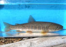
Bull Trout, John Day SMU
Salvelinus confluentus

Bull Trout, Umatilla SMU
Salvelinus confluentus

Burrowing Owl
Athene cunicularia hypugaea
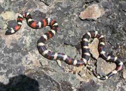
California Mountain Kingsnake
Lampropeltis zonata
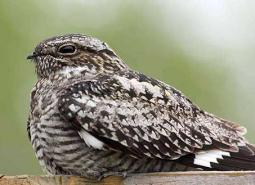
Common Nighthawk
Chordeiles minor

Dalles Mountainsnail
Oreohelix variabilis variabilis
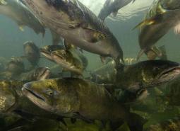
Fall Chinook Salmon, Mid Columbia SMU
Oncorhynchus tshawytscha
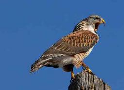
Ferruginous Hawk
Buteo regalis
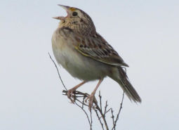
Grasshopper Sparrow
Ammodramus savannarum perpallidus
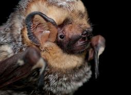
Hoary Bat
Lasiurus cinereus
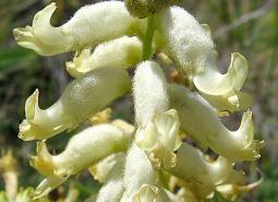
Lawrence’s Milkvetch
Astragalus collinus var. laurentii
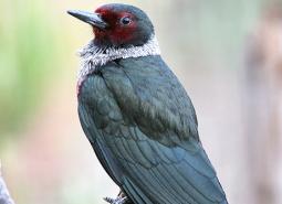
Lewis’s Woodpecker
Melanerpes lewis
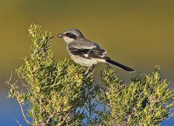
Loggerhead Shrike
Lanius ludovicianus
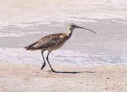
Long-billed Curlew
Numenius americanus
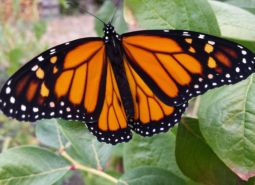
Monarch Butterfly
Danaus plexippus
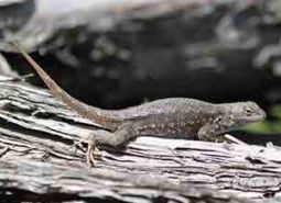
Northern Sagebrush Lizard
Sceloporus graciosus graciosus
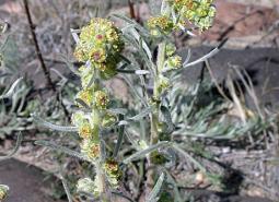
Northern Wormwood
Artemisia campestris var. wormskioldii
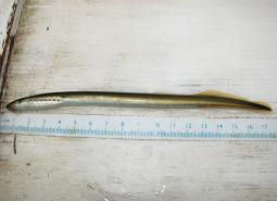
Pacific Lamprey
Entosphenus tridentatus

Pallid Bat
Antrozous pallidus

Purple-lipped Juga
Juga hemphilli maupinensis
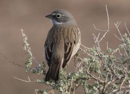
Sagebrush Sparrow
Artemisiospiza nevadensis

Shortface Lanx
Fisherola nuttalli
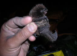
Silver-haired Bat
Lasionycteris noctivagans

Spotted Bat
Euderma maculatum

Spring Chinook Salmon, Mid Columbia SMU
Oncorhynchus tshawytscha
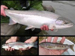
Summer Steelhead / Columbia Basin Redband Trout, Mid Columbia SMU
Oncorhynchus mykiss / Oncorhynchus mykiss gairdneri
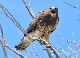
Swainson’s Hawk
Buteo swainsoni
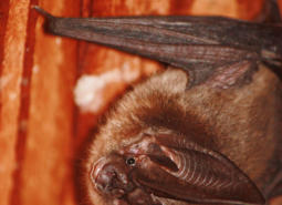
Townsend’s Big-eared Bat
Corynorhinus townsendii

Tygh Valley Milkvetch
Astragalus tyghensis
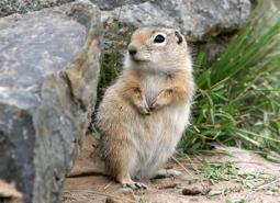
Washington Ground Squirrel
Urocitellus washingtoni

Western Brook Lamprey
Lampetra richardsoni
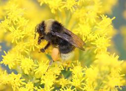
Western Bumble Bee
Bombus occidentalis
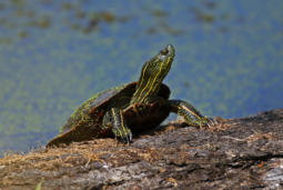
Western Painted Turtle
Chrysemys picta bellii
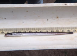
Western River Lamprey
Lampetra ayresii
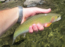
Westslope Cutthroat Trout
Oncorhynchus clarki lewisi
Conservation Opportunity Areas

Bakeoven Creek-Buckhollow Creek [COA ID: 151]
The northern boundary of this COA follows Buck Hollow Creek, with the remaining boundaries connecting to the Lower Deschutes River (COA ID 148) and Lawrence Grasslands (COA ID 152) COAs.

Boardman Area [COA ID: 154]
South of the Columbia River, in north central Oregon. Area includes important conservation lands near the Boardman Conservation Area; Willow Creek Wildlife Area; and grassland included in The Nature Conservancy conservation portfolio

Cold Springs National Wildlife Refuge Area [COA ID: 156]
Just east of Hermiston and extending to include a small stretch of the Columbia River. Includes Cold Springs National Wildlife Refuge
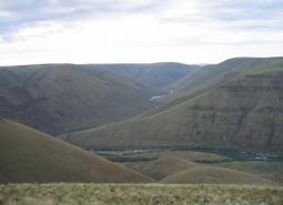
Deschutes River [COA ID: 149]
Mainly located on the Warms Springs Reservation, this narrow COA includes a section of the Deschutes River from above the confluence with the Warms Springs River, north to approximately 1.5 miles below White Horse Rapids. From east to west the COA runs from the east side of the Deschutes River, adjacent to White Horse rapids, …
Fifteenmile Creek [COA ID: 147]
Area just east of The Dalles Airport, following Fifteen Mile Creek, and extending north to the Oregon/Washington border along the Columbia River.

Lawrence Grasslands [COA ID: 152]
In the southwest corner of the ecoregion just west of Antelope.
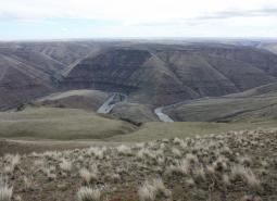
Lower Deschutes River [COA ID: 148]
Follows the Lower Deschutes River Corridor and includes surrounding habitat.
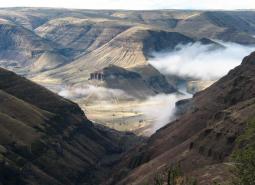
Lower John Day River [COA ID: 153]
Area follows the lower John Day River and surrounding habitats.

Metolius Bench-Mutton Mountains Wildlife Movement Corridor [COA ID: 150]
This long narrow COA spans two ecoregions. Within the East Cascades, it begins on the south side of the Metolius River, northwest of Lake Billy Chinook, and crosses over the river and into the Warm Springs Reservation. Heading north east, the COA crosses into the Blue Mountains ecoregion, across US Highway 26, and at its …
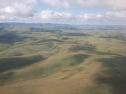
Rock Creek-Butter Creek Grasslands [COA ID: 155]
This is the largest COA within the Columbia Plateau Ecoregion extending from Rock Creek to Butter Creek, totaling 809 square miles.
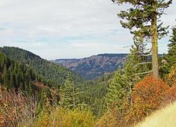
Walla Walla Headwaters [COA ID: 157]
This COA is mainly located within the Blue Mountains ecoregion of Umatilla, Union, and Wallowa Counties, but enters into a small section of the Columbia Plateau ecoregion along its northwest corner. Characterized by extensive mixed conifer forest, this rugged landscape also contains important native perennial grasslands, abundant springs, and abuts the North Fork Umatilla Wilderness …
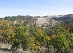
Wasco Oaks [COA ID: 125]
Area extends from the Columbia River up through the Mt. Hood National Forest and has served as an important emphasis for conservation and restoration efforts.