Overview
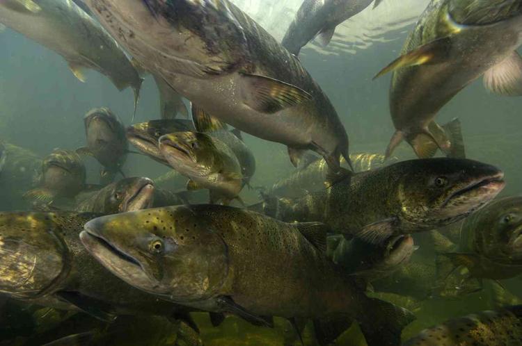
- Species Common Name Chinook Salmon
- Species Scientific Name Oncorhynchus tshawytscha
- State Listing Status Sensitive
- SMU/ESU/DPS/Subspecies Spring Chinook - Rogue SMU, Southern Oregon/Northern California Coasts ESU
Ecoregions
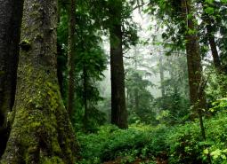
Coast Range
Oregon’s Coast Range, known for its dramatic scenery, is extremely diverse, with habitats ranging from open sandy dunes to lush forests and from tidepools to headwater streams. It follows the coastline and extends east through coastal forest to the border of the Willamette Valley and Klamath Mountains ecoregions
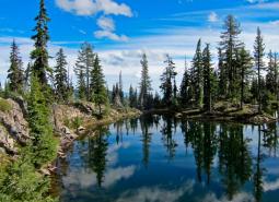
Klamath Mountains
The Klamath Mountains ecoregion covers much of southwestern Oregon, including the Umpqua Mountains, Siskiyou Mountains, and interior valleys and foothills between these and the Cascade Range. The Rogue watershed has the largest population of any coastal watershed in Oregon (Jackson County, Josephine County, and a portion of Curry County). Several popular and scenic rivers run …
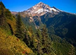
West Cascades
The West Cascades ecoregion extends from east of the Cascade Mountains summit to the foothills of the Willamette, Umpqua, and Rogue Valleys, and spans the entire length of the state of Oregon. It is largely dominated by conifer forests, moving into alpine parklands and dwarf shrubs at higher elevations.
Nearshore
The Nearshore ecoregion includes a variety of habitats ranging from submerged high-relief rocky reefs to broad expanses of intertidal mudflats in estuaries and hosts a vast array of fish, invertebrates, marine mammals, birds, plants, and micro-organisms. This ecoregion encompasses the area from the outer boundary of Oregon’s Territorial Sea to the supra-tidal zone, and up into the estuaries.