Description
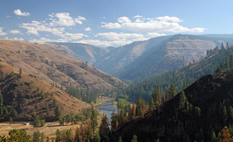
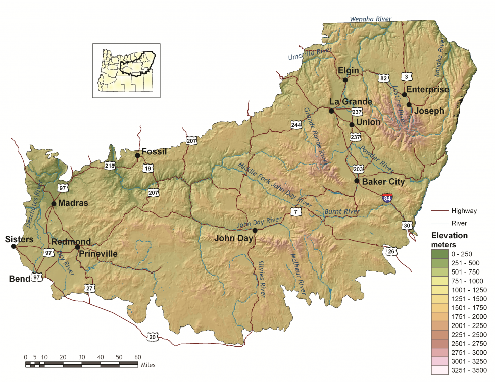
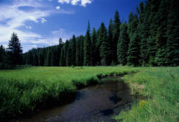
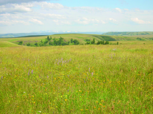
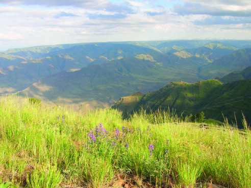
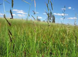
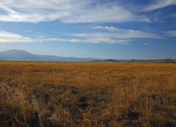
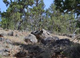
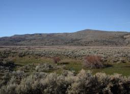
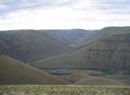
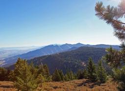
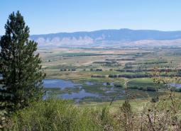
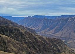
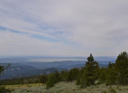
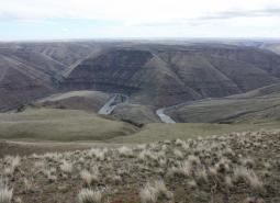
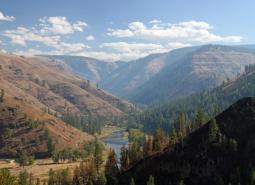
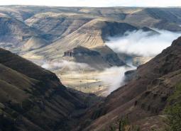
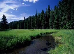
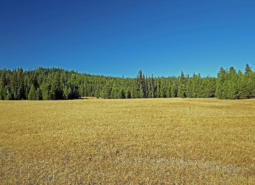
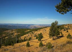
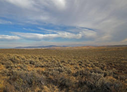
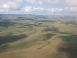
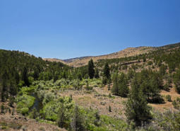
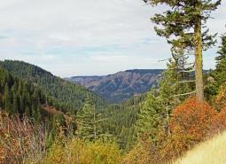
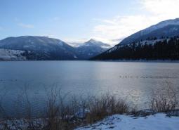
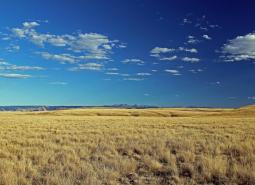
At 23,984 square miles, the Blue Mountains ecoregion is the largest ecoregion in Oregon. Although named for its largest mountain range, the Blue Mountains ecoregion is a diverse complex of mountain ranges, valleys, and plateaus that extends beyond Oregon into the states of Idaho and Washington. This ecoregion contains deep rock-walled canyons, glacially-cut gorges, sagebrush steppe, juniper woodlands, mountain lakes, forests, and meadows. Broad alluvial-floored river valleys support ranches surrounded by irrigated hay meadows and wheat fields. The climate varies over broad temperature and precipitation ranges because of elevational differences. Overall, the ecoregion has short, dry summers and long, cold winters. Because much of the precipitation falls as snow, snow melt gives life to the rivers and irrigated areas.
Wood products and cattle production dominate the economy of the ecoregion, but dryland wheat and alfalfa are important in the river valleys. The ecoregion supports some of the finest big game hunting in the state and attracts tourists year-round, offering scenic lakes and rivers, geologic features, and alpine areas. It includes the Prineville-Bend-Redmond area, one of the fastest growing areas in the state, along with the cities of La Grande, Baker, Enterprise, and John Day.
Characteristics
Important Industries
Agriculture, livestock (e.g., beef cattle, dairy cattle, sheep, poultry, hogs), forest products, manufacturing, recreation (e.g., hunting, fishing, skiing, camping)
Major Crops
Wheat, alfalfa, potatoes, onions, sugar beets, carrots, field corn, mint
Important Nature-based Recreational Areas
John Day Fossil Beds National Monument, Hell’s Canyon National Recreational Area and Hell’s Canyon Wilderness, Wallowa Lake, Umatilla National Wildlife Refuge, John Day and Grande Ronde Rivers, Lake Billy Chinook, Smith Rock, and wilderness areas (especially Eagle Cap, Strawberry Mountain, North Fork John Day, and Wenaha-Tucannon Wildernesses)
Elevation
1,000 feet (Snake River) – 9,838 feet (Sacajawea Peak)
Important Rivers
Deschutes, Grande Ronde, Imnaha, John Day, Malheur, Powder, Silvies, Snake, Umatilla, Wallowa
Ecologically Outstanding Areas
Malheur headwaters, Bear Valley, and the Umatilla-Walla Walla headwaters
Conservation Issues and Priorities
While the Blue Mountains ecoregion contains some of the largest intact native grasslands in the state and several large areas managed for conservation values, habitats have been impacted by interrelated changes in ecological processes due to fire suppression, selective harvest practices, and unsustainable grazing. These changes have increased vulnerability of forests to insects, disease, and uncharacteristically severe wildfire. Similarly, these changes have led to increased invasive species and increased vulnerability to wildfire in sagebrush shrublands and steppe.
Habitat loss has been the most severe in lower elevation valley bottom habitats, such as riparian areas, wetlands, and shrublands, where native vegetation has been converted to agricultural uses. These low-elevation habitats are highly fragmented. Therefore, maintaining connectivity and corridors for wildlife is especially important in these areas. Increasing recreational pressure and invasive species can potentially impact all habitats in this ecoregion.
Key Conservation Issues (KCIs) of particular concern in the Blue Mountains ecoregion include Disruption of Disturbance Regimes (fire), Land Use Changes, Water Quality and Quantity, and Invasive Species. In addition to the statewide issues, uncontrolled off-highway recreational vehicle use and unregulated horse herds are of increasing concern in this ecoregion.
Limiting Factors and Recommended Approaches
Limiting Factor:
Altered Fire Regimes
In ponderosa pine habitat types, fire suppression and past forest practices have resulted in young, dense mixed-species stands where open, park-like stands of ponderosa pine once dominated. Increasingly dominated by smaller Douglas-firs and true firs, the forests are at greater risk of severe wildfire, disease, and damage by insects. Dense understories and insect-killed trees make it difficult to reintroduce natural fire regimes because hazardous fuel levels increase the risk of stand-replacing fires. Efforts to reduce fire danger and improve forest health may help to restore habitats but require careful planning to provide sufficient habitat features that are important to wildlife (e.g., snags, downed logs, hiding cover). Similarly, wildfire reforestation efforts should be carefully planned to create stands with tree diversity, understory vegetation, and natural forest openings.
Recommended Approach
Use an integrated approach to forest health issues that considers historical conditions, wildlife conservation, natural fire intervals, and silvicultural techniques. Encourage forest management at a broad scale to address limiting factors. Implement fuel reduction projects to reduce the risk of forest-destroying wildfires, considering site-specific conditions and goals. Fuel reduction strategies need to consider the habitat structures that are important to wildlife, such as snags and downed logs, and make an effort to maintain them. Reintroduce fire where feasible; prioritize sites and applications. Carefully planned prescribed burns enhance quality of forage and cover for wintering deer and elk. Maintain important wildlife habitat features, such as snags and logs, at a level to sustain wood-dependent species. Monitor forest health initiatives, and use adaptive management techniques to ensure efforts are meeting habitat restoration and wildfire prevention objectives with minimal impacts on wildlife.
Limiting Factor:
Low-Elevation Sites Vulnerable
Although a large number of acres in this ecoregion are managed for wildlife and recreational values, these areas are primarily limited to higher mountain forests and alpine areas, or steep canyonlands. Lower elevation vegetation types, such as valley bottom grasslands, riparian areas, wetlands, and shrublands, are mostly on private lands. Most remnant low-elevation native habitats occur as fragmented patches with poor connectivity.
Recommended Approach
Because important low-elevation habitats are primarily privately-owned, working with private landowners and local governments on voluntary cooperative approaches to improve habitat is the key to long-term conservation using tools such as financial incentives, regulatory assurance agreements, and conservation easements. Where feasible, maintain and restore habitats using a landscape approach to increase connectivity between habitat patches.
Limiting Factor:
Development and Increased Growth
The western portion of the Blue Mountains includes the Madras, Redmond, Prineville, and eastern Bend area, one of the fastest growing regions of the state. Rapid conversion to urban uses threatens habitats and traditional land uses such as agriculture. Impacts to mule deer winter range are of particular concern. Northeast Oregon is increasingly popular with vacationers, and habitat fragmentation due to rural development is a concern in some areas.
Recommended Approach
As in low-elevation habitats, cooperative approaches with private landowners are critical. Work with community leaders and agency partners to ensure planned, efficient growth. Support and implement existing land use regulations to preserve farmland and rangeland, open spaces, recreation areas, and natural habitats.
Limiting Factor:
Recreational Vehicle Use
Use by off-highway vehicles (OHVs) has increased dramatically in recent years. When limited and controlled, OHV use can be compatible with wildlife conservation. However, unlimited and uncontrolled use can impact riparian, aquatic, and other sensitive habitats, spread invasive plant seeds, increase fire danger, and affect wildlife behavior and distribution, especially during critical breeding and wintering periods. Also, use of forest roads can affect wildlife behavior and distribution, depending on road type and traffic levels.
Recommended Approach
Work cooperatively with land managers and OHV groups to direct use to maintained trails in low-impact areas and minimize growth of OHV use. Conduct research on effects of OHVs on wildlife behavior and populations (e.g., research conducted at Starkey Experimental Forest, U.S. Forest Service (USFS)). Support efforts to control OHV use on public lands, particularly in highly sensitive habitats, and restore damaged areas. For example, the USFS is looking into closing some non-priority forest roads. Encourage development and use of designated roads and trails, maintain hiding cover along open roads, and/or seasonally-close roads during sensitive periods, such as calving or wintering.
Limiting Factor:
Water Distribution in Arid Areas and Wildlife Entrapment in Water Developments
In arid areas, water availability can limit animal distribution. Water developments established for cattle, deer, and elk can significantly benefit birds, bats, and small mammals. However, some types of these facilities, particularly water developments for livestock, can have unintentional hazards. These hazards include over-hanging wires that act as trip lines for bats, steep side walls that act as entrapments under low water conditions, or unstable perches that cause animals to fall into the water. If an escape ramp is not provided, small animals cannot escape and will drown.
Recommended Approach
Continue current efforts to provide water for wildlife in arid areas. Continue current design of big game and game bird “guzzlers” that accommodate a variety species, and retrofit older models where appropriate to make them compatible with newer design standards. Use and maintain escape devices on water developments where animals can become trapped. Remove obstacles that could be hazardous to wildlife from existing developments.

Limiting Factor:
Unregulated Horse Herds Disturb Wildlife and Compete for Water and Other Resources
Oregon’s herds of wild horses are a well-recognized feature on rangeland, but the herds require intensive management attention, including resource-intensive adoption and translocation programs allowed under the Wild Horse & Burro Act (BLM 1971). Unregulated horse herds negatively impact native vegetation, compete with wildlife for water and food, and disrupt habitat use by wildlife. Currently, this issue is limited to a small but important part of the Blue Mountains ecoregion in the Murderers Creek area.
Recommended Approach
Promote dialogue between wildlife managers, land owners, and land managers to develop management plans based on common priorities. Promote outreach to explain the issue to the public. Use opinion polling results to inform management decisions and help agencies balance multiple priorities.
Limiting Factor:
Invasive Species
Invasive plants and animals disrupt and degrade native communities, diminish populations of at-risk native species, and threaten the economic productivity of resource lands. Invasive plants, particularly noxious weeds, have been on the increase during the last 30 years. While not as disruptive, invasive animals have caused problems for native wildlife species and have become a nuisance and impacted people economically.
Recommended Approach
Emphasize prevention, risk assessment, early detection, and quick control to prevent new invasive species from becoming fully established. Use multiple site-appropriate tools (e.g., mechanical, chemical, biological) to control the most damaging invasive species. Prioritize efforts to focus on key invasive species in high priority areas, particularly where Strategy Habitats and Strategy Species occur. Cooperate with partners through habitat programs to reduce noxious weeds and other invasive species and to educate people about invasive species issues. Promote the use of native plants for restoration and revegetation. At some sites in sagebrush communities, it may be desirable to use “assisted succession” strategies, using low seed rates of non-invasive non-native plants in conjunction with native plant seeds as an intermediate step in rehabilitating disturbances.
Strategy Species
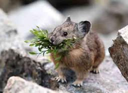
American Pika
Ochotona princeps

American Three-toed Woodpecker
Picoides dorsalis
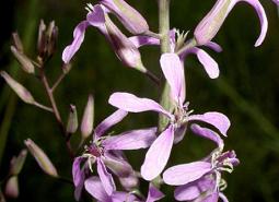
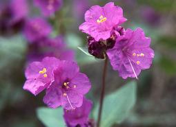
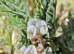
Arrow-leaf Thelypody
Thelypodium eucosmum
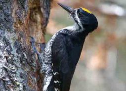
Black-backed Woodpecker
Picoides arcticus
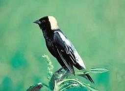
Bobolink
Dolichonyx oryzivorus
Bulb Juga
Juga bulbosa
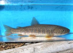
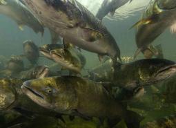
Bull Trout, Deschutes SMU
Salvelinus confluentus
Bull Trout, Grande Ronde SMU
Salvelinus confluentus
Bull Trout, Hells Canyon SMU
Salvelinus confluentus
Bull Trout, Imnaha SMU
Salvelinus confluentus
Bull Trout, John Day SMU
Salvelinus confluentus
Bull Trout, Malheur River SMU
Salvelinus confluentus
Bull Trout, Umatilla SMU
Salvelinus confluentus
Bull Trout, Walla Walla SMU
Salvelinus confluentus
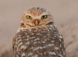
Burrowing Owl
Athene cunicularia hypugaea
California Myotis
Myotis californicus
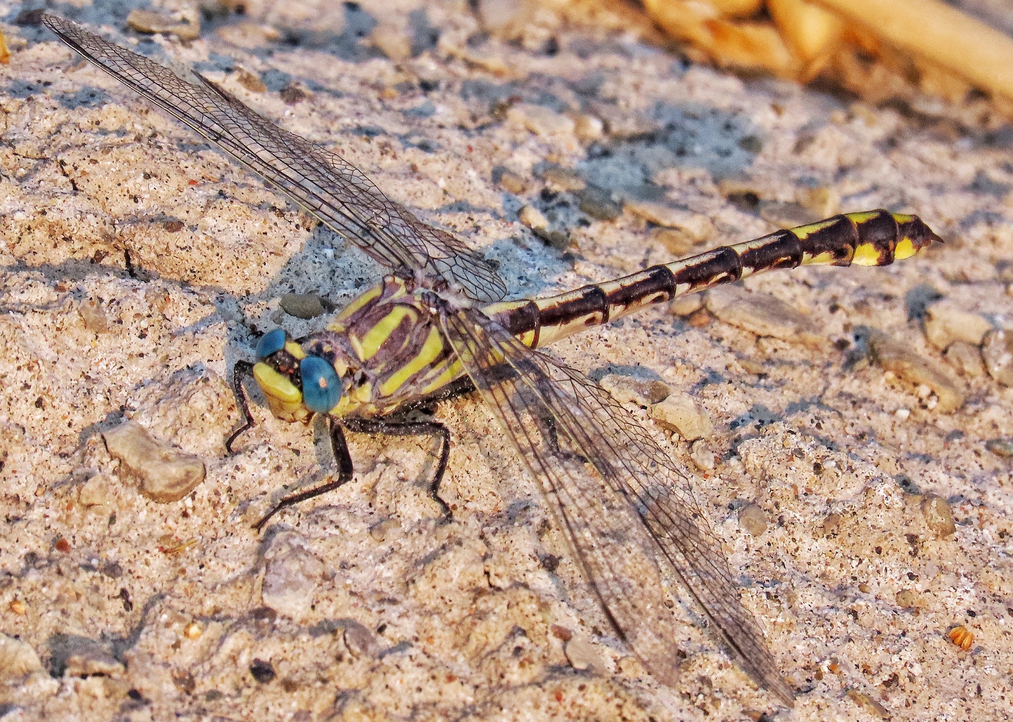
Columbia Clubtail
Gomphus lynnae
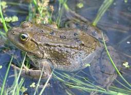
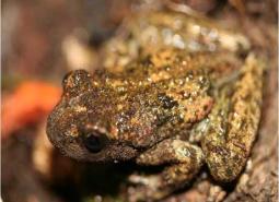
Columbia Spotted Frog
Rana luteiventris
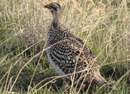
Columbian Sharp-tailed Grouse
Tympanuchus phasianellus columbianus
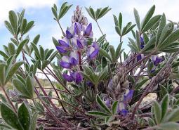
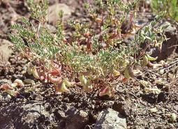
Cusick’s Lupine
Lupinus lepidus var. cusickii
Fall Chinook Salmon, Mid Columbia SMU
Oncorhynchus tshawytscha
Fall Chinook Salmon, Snake SMU
Oncorhynchus tshawytscha
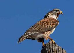
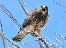
Ferruginous Hawk
Buteo regalis
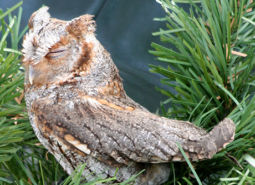
Flammulated Owl
Psiloscops flammeolus

Fringed Myotis
Myotis thysanodes
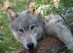
Gray Wolf
Canis lupus
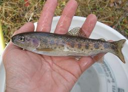
Great Basin Redband Trout, Malheur Lakes SMU
Oncorhynchus mykiss newberrii
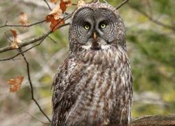
Great Gray Owl
Strix nebulosa
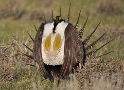
Greater Sage-Grouse
Centrocercus urophasianus
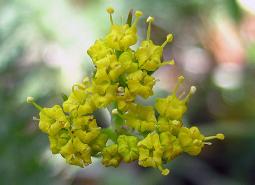
Greenman’s Desert Parsley
Lomatium greenmanii

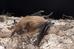
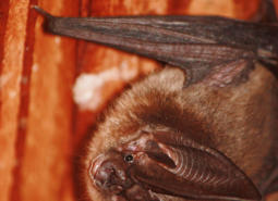
Hoary Bat
Lasiurus cinereus
Howell’s Spectacular Thelypody
Thelypodium howellii ssp. spectabilis
Lewis’s Woodpecker
Melanerpes lewis
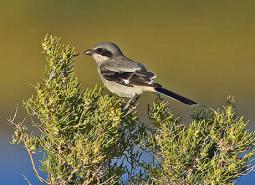
Loggerhead Shrike
Lanius ludovicianus
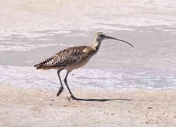
Long-billed Curlew
Numenius americanus

Long-legged Myotis
Myotis volans
Macfarlane’s Four o’Clock
Mirabilis macfarlanei
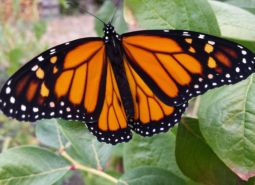
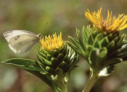
Monarch Butterfly
Danaus plexippus
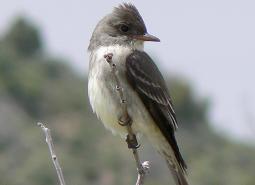
Olive-sided Flycatcher
Contopus cooperi
Oregon Semaphore Grass
Pleuropogon oregonus
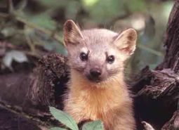
Pacific Marten
Martes caurina

Pallid Bat
Antrozous pallidus
Peck’s Milkvetch
Astragalus peckii
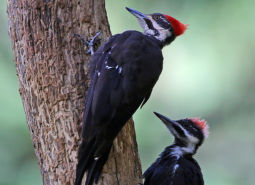
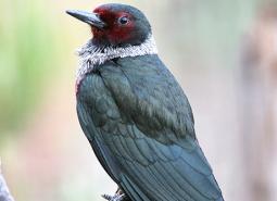
Pileated Woodpecker
Dryocopus pileatus
Purple-lipped Juga
Juga hemphilli maupinensis
Red-fruited Lomatium
Lomatium erythrocarpum
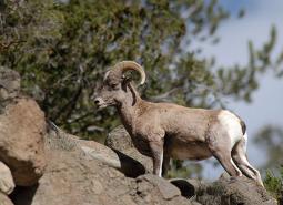
Rocky Mountain Bighorn Sheep
Ovis canadensis canadensis
Rocky Mountain Tailed Frog
Ascaphus montanus
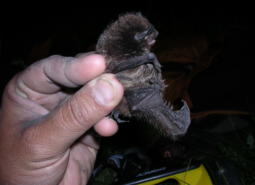
Silver-haired Bat
Lasionycteris noctivagans
Snake River Goldenweed
Pyrrocoma radiata
South Fork John Day Milkvetch
Astragalus diaphanus var. diurnus
Spalding’s Campion
Silene spaldingii

Spotted Bat
Euderma maculatum
Spring Chinook Salmon, Lower Snake SMU
Oncorhynchus tshawytscha
Spring Chinook Salmon, Mid Columbia SMU
Oncorhynchus tshawytscha
Spring Chinook Salmon, Upper Snake SMU
Oncorhynchus tshawytscha
Summer Steelhead / Columbia Basin Redband Trout, Lower Snake SMU
Oncorhynchus mykiss / Oncorhynchus mykiss gairdneri
Summer Steelhead / Columbia Basin Redband Trout, Mid Columbia SMU
Oncorhynchus mykiss / Oncorhynchus mykiss gairdneri
Swainson’s Hawk
Buteo swainsoni
Townsend’s Big-eared Bat
Corynorhinus townsendii
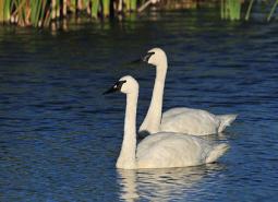
Trumpeter Swan
Cygnus buccinator
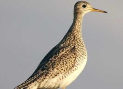
Upland Sandpiper
Bartramia longicauda
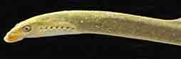
Western Brook Lamprey
Lampetra richardsoni
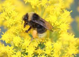
Western Bumble Bee
Bombus occidentalis
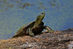
Western Painted Turtle
Chrysemys picta bellii
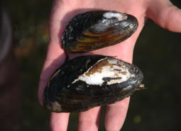
Western Ridged Mussel
Gonidea angulata
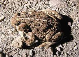
Western Toad
Anaxyrus boreas
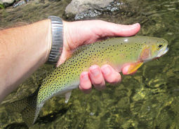
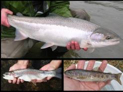
Westslope Cutthroat Trout
Oncorhynchus clarki lewisi
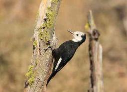
White-headed Woodpecker
Picoides albolarvatus
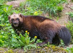
Wolverine
Gulo gulo
Conservation Opportunity Areas
Baker Valley Wetlands [COA ID: 165]
Located in the Powder River Basin immediately northwest of Baker City and including the town of Haines
Bear Valley [COA ID: 177]
Located south of John Day, along the Silvies River and including the town of Seneca. Area encompasses important wetland and riparian habitats in the valley.
Bully Creek Area [COA ID: 183]
Adjacent to North Fork Malheur – Monument Rock area, including significant stretches of Clover Creek and Bully Creek
Burnt River [COA ID: 166]
Includes important stretch of the Burnt River and adjacent riparian habitat. Includes the town of Bridgewater.
Deschutes River [COA ID: 149]
Mainly located on the Warms Springs Reservation, this narrow COA includes a section of the Deschutes River from above the confluence with the Warms Springs River, north to approximately 1.5 miles below White Horse Rapids. From east to west the COA runs from the east side of the Deschutes River, adjacent to White Horse rapids, …
East Madras-Trout Creek Sagebrush and Grassland Area [COA ID: 172]
Adjacent to Lower John Day COA, just east of the town of Madras.
Fields Peak [COA ID: 176]
Just north of Bear Valley COA and east of the South John day River COA
Grande Ronde Valley [COA ID: 159]
This COA encompasses the Ladd Marsh Wildlife Area and a buffered area adjacent to the Grande Ronde River from La Grande to several miles below Elgin.
Imnaha [COA ID: 161]
Follows canyons along the Snake River from Hwy 86 north to the ecoregion boundary
Lawrence Grasslands [COA ID: 152]
In the southwest corner of the ecoregion just west of Antelope.
Logan Valley-John Day River Headwaters [COA ID: 179]
Area just west of John Day and including the town of Prairie. Area encompasses the John Day River headwaters and a variety of diverse Strategy Habitats
Lower Deschutes River [COA ID: 148]
Follows the Lower Deschutes River Corridor and includes surrounding habitat.
Lower Grande Ronde [COA ID: 158]
This COA follows the Grande Ronde River from the Oregon/Washington border to its confluence with the Wallowa River, then continues up the Wallowa to Highway 82 and the Minam River confluence. It includes many of the smaller tributaries and significant portions of larger tributaries.
Lower John Day River [COA ID: 153]
Area follows the lower John Day River and surrounding habitats.
Malheur River Headwaters [COA ID: 180]
The Malheur River Headwaters COA spans two ecoregions. Within the BM ecoregion, the COA includes Logan Valley and part of the Strawberry Mountain Wilderness and continues south to Battle Mountain (just north of Highway 306). Within the NBR, the COA is comprised of land associated with the Malheur River south of Battle Mountain to approximately …
Metolius Bench-Mutton Mountains Wildlife Movement Corridor [COA ID: 150]
This long narrow COA spans two ecoregions. Within the East Cascades, it begins on the south side of the Metolius River, northwest of Lake Billy Chinook, and crosses over the river and into the Warm Springs Reservation. Heading north east, the COA crosses into the Blue Mountains ecoregion, across US Highway 26, and at its …
Middle Fork John Day River [COA ID: 170]
Includes significant stretch of Middle Fork John Day River, Long Creek, and part of the North Fork John Day River.
North Fork John Day River 1 [COA ID: 168]
Located at the border of Umatilla and Grant Counties, including the town of Ukiah, significant stretches of the North Fork of the John Day River, and Camas Creek
North Fork John Day River 2 [COA ID: 169]
To the east of North Fork John Day River 1, this area encompasses high quality habitat for Strategy Species surrounding John Day Wilderness Area and near the town of Granite.
North Fork Malheur-Monument Rock Area [COA ID: 182]
At the border of Baker and Grant Counties, following the North Fork Malheur River and adjacent to Monument Rock Wilderness
Ochoco Mountains [COA ID: 173]
Immediately adjacent to John Day River area, at the border of Wheeler and Crook Counties
Powder River Sage-Grouse Core Area [COA ID: 164]
Located immediately north of Pleasant valley, adjacent to Wallowa Mountains COA, including a significant stretch of the Powder River.
Rattlesnake Creek-Calamity Creek Area [COA ID: 181]
At the border of Grant and Harney County, area encompasses important sections of Rattlesnake Creek and Calamity Creek, immediately adjacent to the Silvies River COA
Rock Creek-Butter Creek Grasslands [COA ID: 155]
This is the largest COA within the Columbia Plateau Ecoregion extending from Rock Creek to Butter Creek, totaling 809 square miles.
Silver Creek Area [COA ID: 175]
Located at the southern edge of the Blue Mountains Ecoregion, just west of the Silvies River. Area includes ecologically significant stretch of Silver Creek and its surrounding habitat
South Fork Crooked River Area [COA ID: 174]
At the southern edge of the ecoregion, adjacent to several COAs and slightly west of the town of Burns
South John Day River [COA ID: 171]
Includes the mainstem John Day River and surrounding high quality fish and wildlife habitat. Southern part of area begins near Silvies River and continues north to the confluence near the town of Kimberly.
Upper Grande Ronde River Area [COA ID: 160]
The edge of this COA includes the Starkey Experimental Forest northwest of US Highway 244 and Camp Elkanah; and Starkey to the east before spreading south and encompassing the Fly Creek and upper Grande Ronde River watersheds.
Upper Silvies River [COA ID: 178]
Includes significant stretch of the Silvies River and surrounding habitat. Spans Blue Mountains (bounded at the north by the town of Seneca) and Northern Basin & Range Ecoregion (starting at Malheur Lake to the south), passing through the town of Burns
Walla Walla Headwaters [COA ID: 157]
This COA is mainly located within the Blue Mountains ecoregion of Umatilla, Union, and Wallowa Counties, but enters into a small section of the Columbia Plateau ecoregion along its northwest corner. Characterized by extensive mixed conifer forest, this rugged landscape also contains important native perennial grasslands, abundant springs, and abuts the North Fork Umatilla Wilderness …
Wallowa Mountains [COA ID: 163]
Located in northeastern Oregon adjacent to the Wallowa-Whitman National Forest.
Warner West [COA ID: 198]
This COA includes portion of Abert Rim Wilderness Study Area, Fish Creek Rim Wilderness Study Area, Lake Abert Area of Critical Environmental Concern, and the Fish Creek Rim Research Natural Area. It encompasses an area between Abert Rim and the Warner Mountains on the western edge to South Warner Rim and Lynches Rim to the …
Willow Creek-Birch Creek Area [COA ID: 167]
Located between the towns of Brogan and Huntington, at the eastern border of the ecoregion adjacent to the Snake River
Zumwalt Prairie Plateau [COA ID: 162]
At the eastern edge of the ecoregion northeast of Enterprise and Joseph, the area builds from TNC Zumwalt Prairie and extends northwest to include significant canyon and riparian habitat