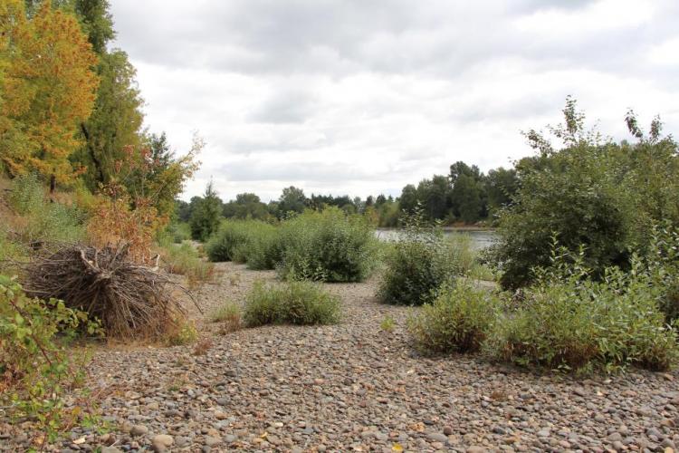
The mainstem Willamette River from Willamette Falls (RM 26) to the confluence with Calapooia River in Albany (RM 120), plus floodplain, and adjacent uplands.
COA ID: 060
Ecoregions
Strategy Habitats
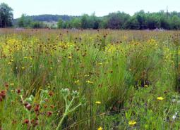
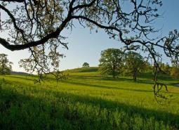
Grasslands
Grasslands include a variety of upland grass-dominated habitats, such as upland prairies, coastal bluffs, and montane grasslands.
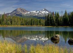
Natural Lakes
Natural lakes are relatively large bodies of freshwater surrounded by land. For the purposes of the Conservation Strategy, natural lakes are defined as standing water bodies larger than 20 acres, including some seasonal lakes.
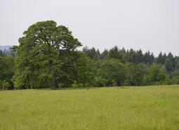
Oak Woodlands
Oak woodlands are characterized by an open canopy dominated by Oregon white oak.
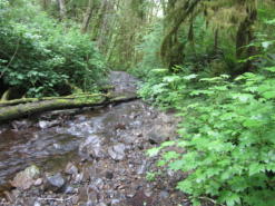
Flowing Water and Riparian Habitats
Flowing Water and Riparian Habitats include all naturally occurring flowing freshwater streams and rivers throughout Oregon as well as the adjacent riparian habitat.
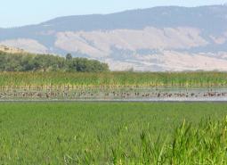
Wetlands
Wetlands are covered with water during all or part of the year. Permanently wet habitats include backwater sloughs, oxbow lakes, and marshes, while seasonally wet habitats include seasonal ponds, vernal pools, and wet prairies.
Strategy Species
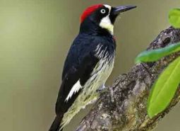
Acorn Woodpecker (Observed)
Melanerpes formicivorus
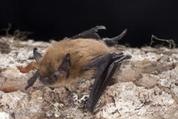
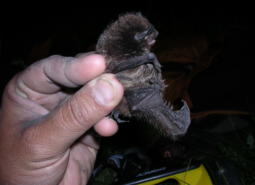
California Myotis (Observed)
Myotis californicus
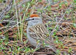
Chipping Sparrow (Observed)
Spizella passerina
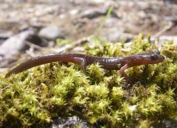
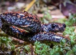
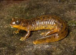
Clouded Salamander (Modeled Habitat)
Aneides ferreus
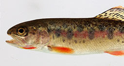
Coastal Cutthroat Trout (Documented)
Oncorhynchus clarki clarki
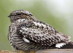
Common Nighthawk (Observed)
Chordeiles minor
Fringed Myotis (Modeled Habitat)
Myotis thysanodes
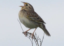
Grasshopper Sparrow (Observed)
Ammodramus savannarum perpallidus
Hoary Bat (Modeled Habitat)
Lasiurus cinereus
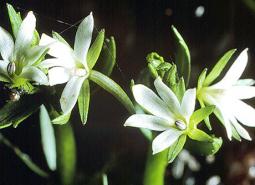
Howellia (Observed)
Howellia aquatilis
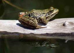
Northern Red-legged Frog (Observed)
Rana aurora
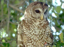
Northern Spotted Owl (Observed)
Strix occidentalis caurina
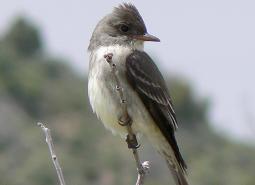
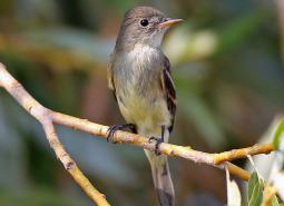
Olive-sided Flycatcher (Observed)
Contopus cooperi
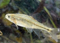
Oregon Chub (Documented)
Oregonichthys crameri
Oregon Slender Salamander (Modeled Habitat)
Batrachoseps wrighti
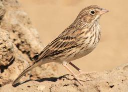
Oregon Vesper Sparrow (Observed)
Pooecetes gramineus affinis
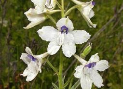
Peacock Larkspur (Observed)
Delphinium pavonaceum
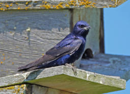
Purple Martin (Observed)
Progne subis arboricola
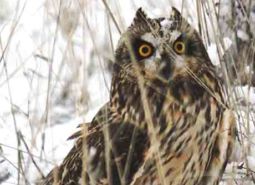
Short-eared Owl (Observed)
Asio flammeus flammeus
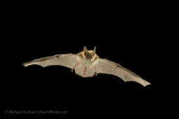
Silver-haired Bat (Observed)
Lasionycteris noctivagans
Southern Torrent Salamander (Modeled Habitat)
Rhyacotriton variegatus
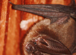
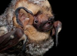
Townsend’s Big-eared Bat (Modeled Habitat)
Corynorhinus townsendii
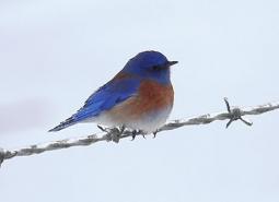
Western Bluebird (Observed)
Sialia mexicana
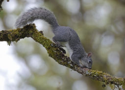
Western Gray Squirrel (Observed)
Sciurus griseus
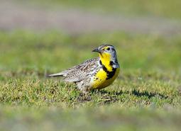
Western Meadowlark (Observed)
Sturnella neglecta
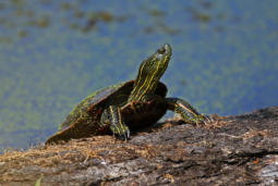
Western Painted Turtle (Observed)
Chrysemys picta bellii
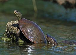
Northwestern Pond Turtle (Observed)
Actinemys marmorata
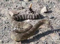
Western Rattlesnake (Modeled Habitat)
Crotalus oreganus
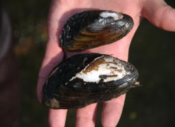
Western Ridged Mussel (Observed)
Gonidea angulata
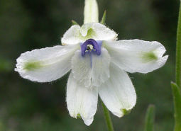
White Rock Larkspur (Observed)
Delphinium leucophaeum
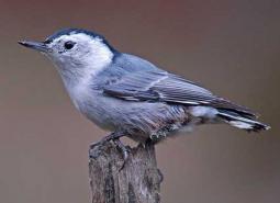
White-breasted Nuthatch (Observed)
Sitta carolinensis aculeata
Willow Flycatcher (Observed)
Empidonax traillii
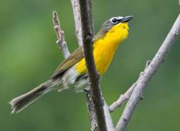
Yellow-breasted Chat (Observed)
Icteria virens auricollis