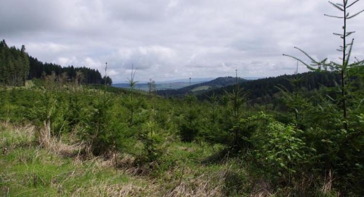
This are spans the Greasy Creek and Marys River Drainages south and west of Philomath, is bordered to the west by Kings Valley, and continues through the hills west and north of of Corvallis and Adair Village through the Maxfield, Berry Creek and Soap Creek Drainages at the southerly boundary of Polk County.
COA ID: 081
Ecoregions
Strategy Habitats
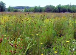
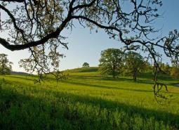
Grasslands
Grasslands include a variety of upland grass-dominated habitats, such as upland prairies, coastal bluffs, and montane grasslands.
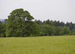
Oak Woodlands
Oak woodlands are characterized by an open canopy dominated by Oregon white oak.
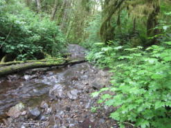
Flowing Water and Riparian Habitats
Flowing Water and Riparian Habitats include all naturally occurring flowing freshwater streams and rivers throughout Oregon as well as the adjacent riparian habitat.
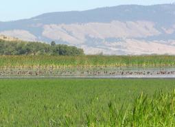
Wetlands
Wetlands are covered with water during all or part of the year. Permanently wet habitats include backwater sloughs, oxbow lakes, and marshes, while seasonally wet habitats include seasonal ponds, vernal pools, and wet prairies.
Strategy Species
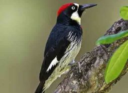
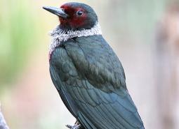
Acorn Woodpecker (Observed)
Melanerpes formicivorus
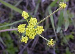
Bradshaw’s Desert Parsley (Observed)
Lomatium bradshawii
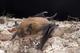
California Myotis (Observed)
Myotis californicus
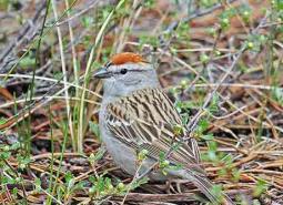
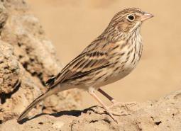
Chipping Sparrow (Observed)
Spizella passerina
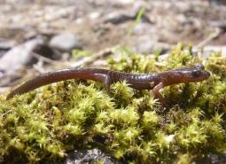
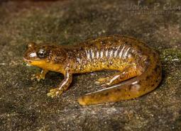
Clouded Salamander (Modeled Habitat)
Aneides ferreus
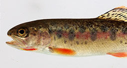
Coastal Cutthroat Trout (Documented)
Oncorhynchus clarki clarki
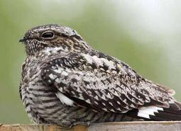
Common Nighthawk (Observed)
Chordeiles minor
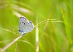
Fender’s Blue Butterfly (Observed)
Icaricia icarioides fenderi
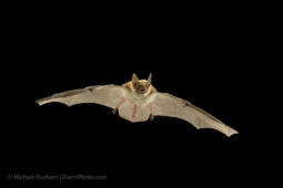
Fringed Myotis (Observed)
Myotis thysanodes
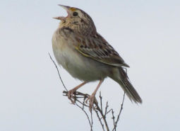
Grasshopper Sparrow (Modeled Habitat)
Ammodramus savannarum perpallidus
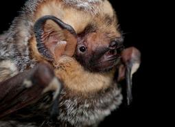
Hoary Bat (Observed)
Lasiurus cinereus
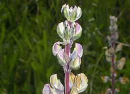
Kincaid’s Lupine (Observed)
Lupinus oreganus
Lewis’s Woodpecker (Observed)
Melanerpes lewis
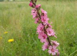
Nelson’s Checkermallow (Observed)
Sidalcea nelsoniana
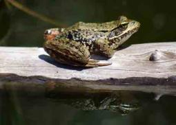
Northern Red-legged Frog (Observed)
Rana aurora
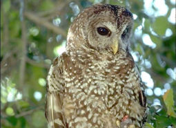
Northern Spotted Owl (Observed)
Strix occidentalis caurina
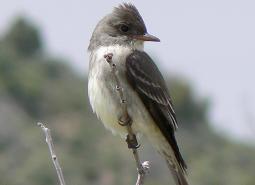
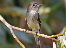
Olive-sided Flycatcher (Observed)
Contopus cooperi
Oregon Vesper Sparrow (Observed)
Pooecetes gramineus affinis
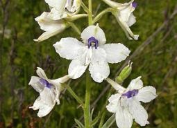
Peacock Larkspur (Observed)
Delphinium pavonaceum
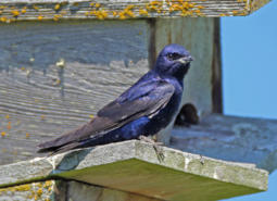
Purple Martin (Observed)
Progne subis arboricola
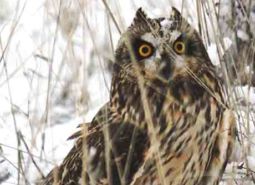
Short-eared Owl (Observed)
Asio flammeus flammeus
Silver-haired Bat (Observed)
Lasionycteris noctivagans
Southern Torrent Salamander (Modeled Habitat)
Rhyacotriton variegatus
Taylor’s Checkerspot Butterfly (Observed)
Euphydryas editha taylori
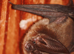
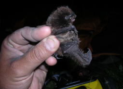
Townsend’s Big-eared Bat (Observed)
Corynorhinus townsendii
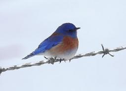
Western Bluebird (Observed)
Sialia mexicana
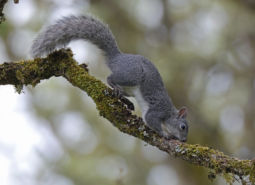
Western Gray Squirrel (Observed)
Sciurus griseus
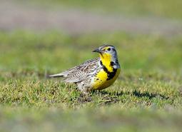
Western Meadowlark (Observed)
Sturnella neglecta
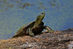
Western Painted Turtle (Observed)
Chrysemys picta bellii
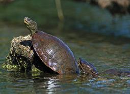
Northwestern Pond Turtle (Observed)
Actinemys marmorata
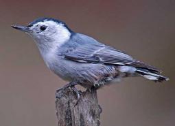
White-breasted Nuthatch (Documented)
Sitta carolinensis aculeata
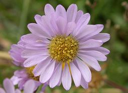
Willamette Daisy (Observed)
Erigeron decumbens
Willow Flycatcher (Observed)
Empidonax traillii
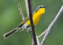
Yellow-breasted Chat (Observed)
Icteria virens auricollis